Context:
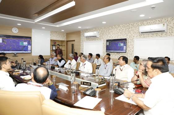
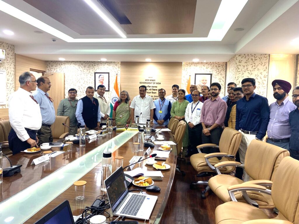
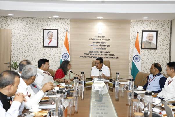
In a significant stride towards strengthening India’s disaster management and response framework, the Union Minister of Jal Shakti, C.R. Patil, inaugurated C-FLOOD (Unified Inundation Forecasting System) on July 2, 2025. This web-based platform is designed to provide advance inundation forecasts up to two days prior, at a village level, through flood inundation maps and water level predictions. The initiative marks a transformative step towards enhancing preparedness and mitigating flood risks across the country.
What Is C-FLOOD?
C-FLOOD is a unified, web-based platform that provides two-day advance flood inundation forecasts.
Forecasts are available at village-level resolution and include:
- Flood inundation maps
- Water level predictions
- Integrates hydrodynamic modelling outputs from national and regional agencies, offering a centralized decision-support tool.
Who Developed It?
- Collaborative project by:
- Central Water Commission (CWC)
- Centre for Development of Advanced Computing (C-DAC), Pune
- National Remote Sensing Centre (NRSC)
- Executed under the National Supercomputing Mission (NSM)
- Jointly steered by Ministry of Electronics and IT (MeitY) and Department of Science and Technology (DST)
Key Features:
• Uses advanced 2-D hydrodynamic flood modelling.
• Simulations for Mahanadi Basin run on High Performance Computing (HPC) at C-DAC Pune.
• Godavari and Tapi basin models developed by NRSC under the National Hydrology Project (NHP).
• Present Coverage: Mahanadi, Godavari, and Tapi river basins.
• Future: Will expand to include more river basins across India.